Photogrammetry with drones
Photogrammetry with drones
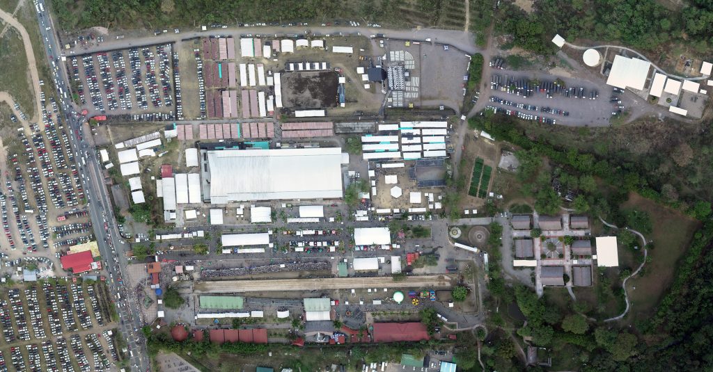
Photogrammetry is the measurement by photos, which allows a reconstruction of land and measurements from aerial images. With this technique we convert two-dimensional data into three-dimensional information.